Log in
All resources
Create a design
1,095,938 Free Images of Maps Of Carniola
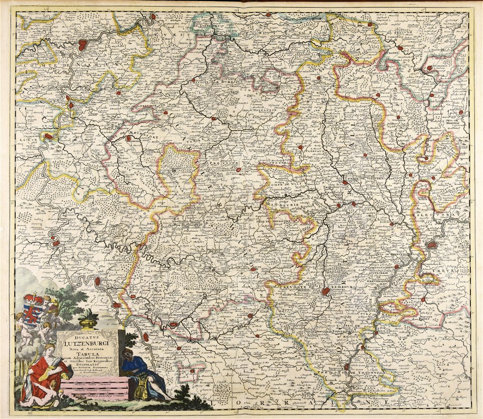
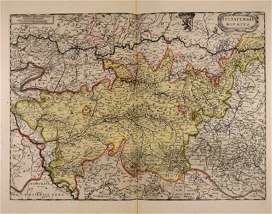
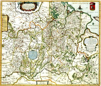
maps made in the 17th century
atlantis magni tomus secundus (biblioteca comunale di trento)
atlantis magni tomus tertius (biblioteca comunale di trento)
atlas van der hagen
maps with cartouches
old maps of the world
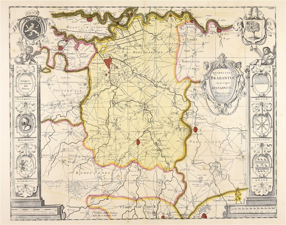
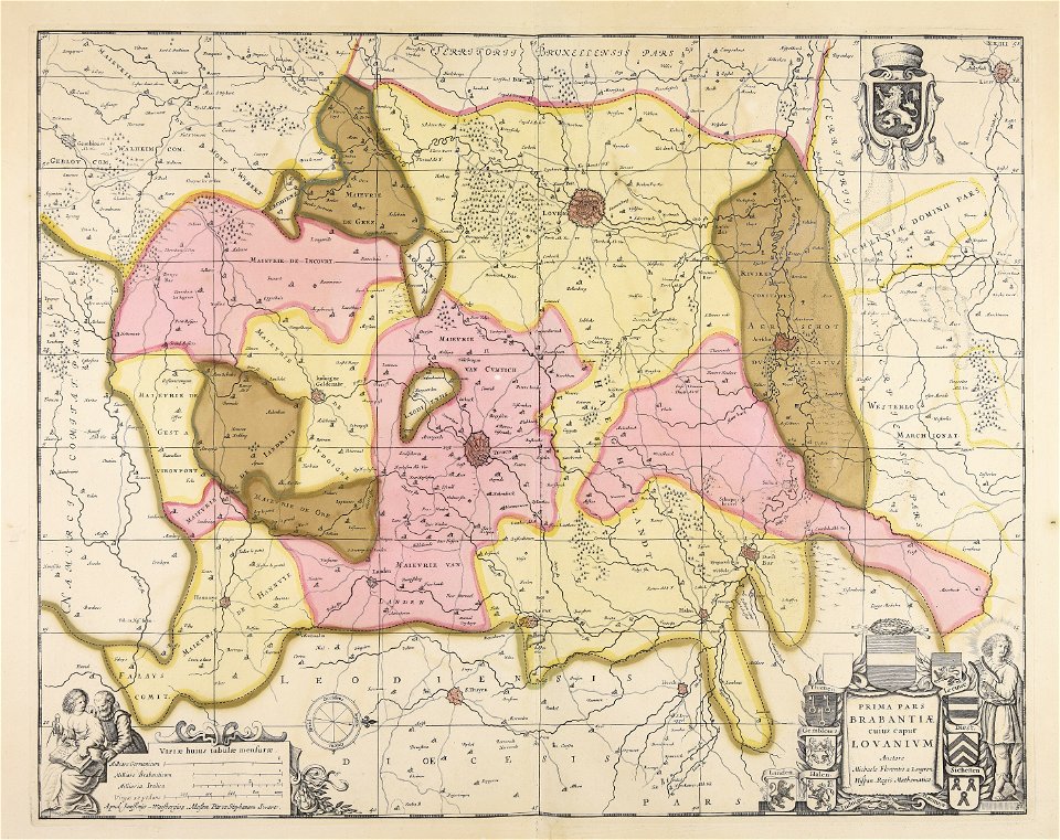
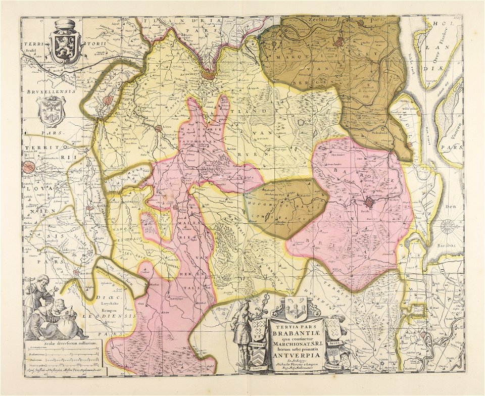
old maps of brabant
maps by martin waldseemüller
gerard valck
maps by pieter schenk (i)
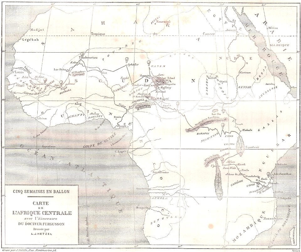
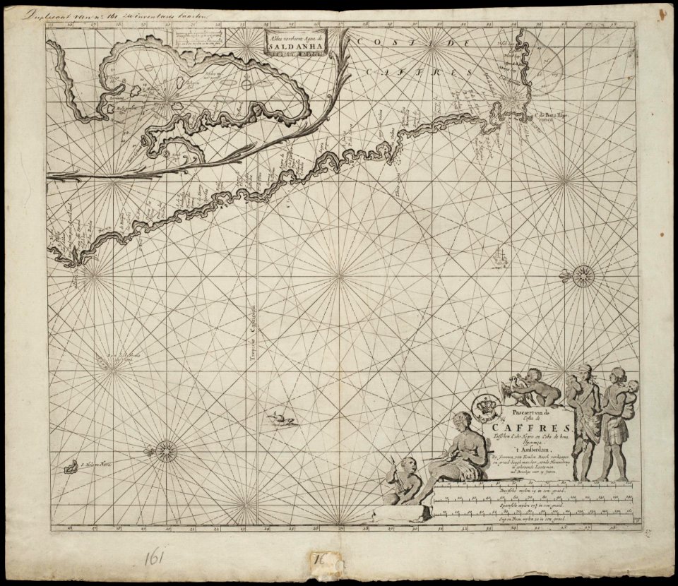
topographic maps of africa
maps in literature
atlantis magni tomus secundus (biblioteca comunale di trento)
maps made in the 17th century
atlantis magni tomus secundus (biblioteca comunale di trento)
maps made in the 17th century
atlantis magni tomus secundus (biblioteca comunale di trento)
maps made in the 17th century
atlantis magni tomus secundus (biblioteca comunale di trento)
maps made in the 17th century
rue de siam (brest
france
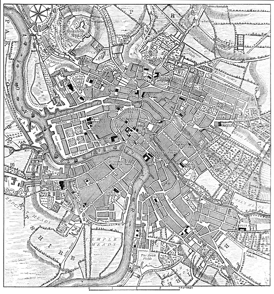
images from bristol past and present (1882)
old maps of bristol
ukiyo-e by unknown artists
1870s maps of the world
atlantis magni tomus tertius (biblioteca comunale di trento)
maps made in the 17th century
atlantis magni tomus tertius (biblioteca comunale di trento)
maps made in the 17th century
atlantis magni tomus tertius (biblioteca comunale di trento)
maps made in the 17th century
french colonization in africa
military maps
latin-language maps
armenian
history of mansfeld land
gerard valck
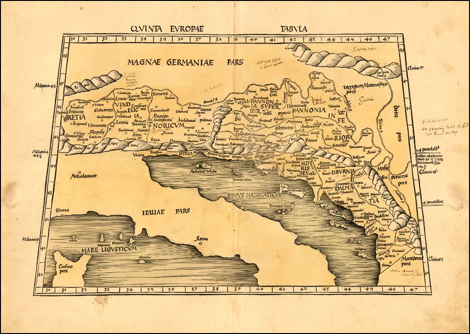
maps by martin waldseemüller
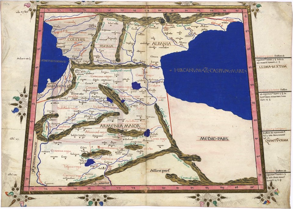
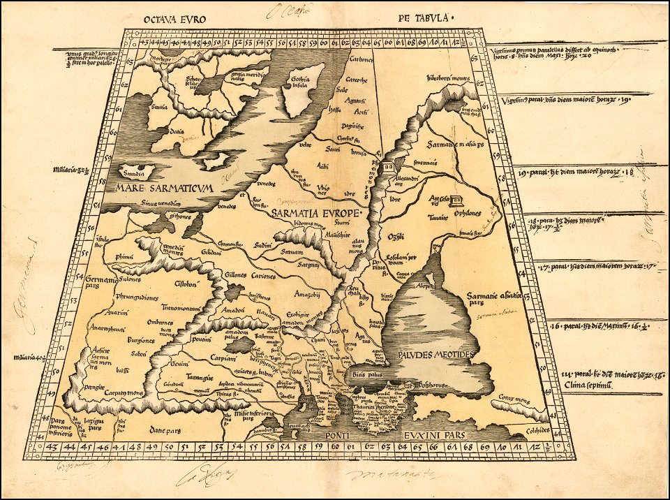
ptolemy's 8th european map
maps by martin waldseemüller
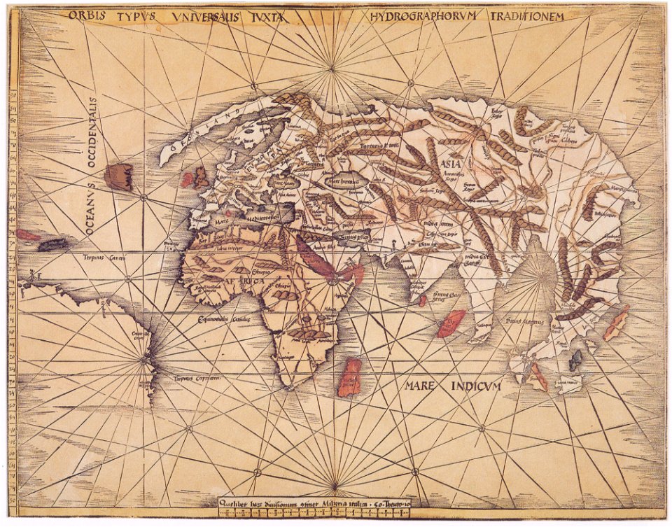
1513 maps
maps by martin waldseemüller
1513 maps
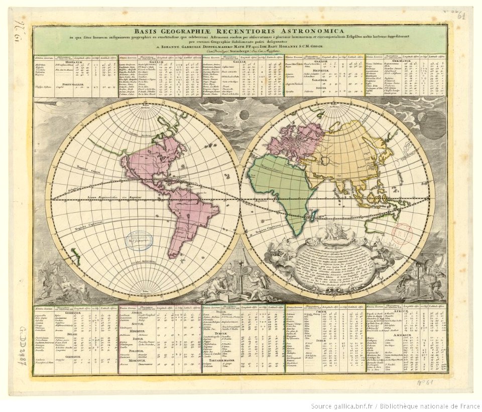
double hemisphere world maps
old celestial maps
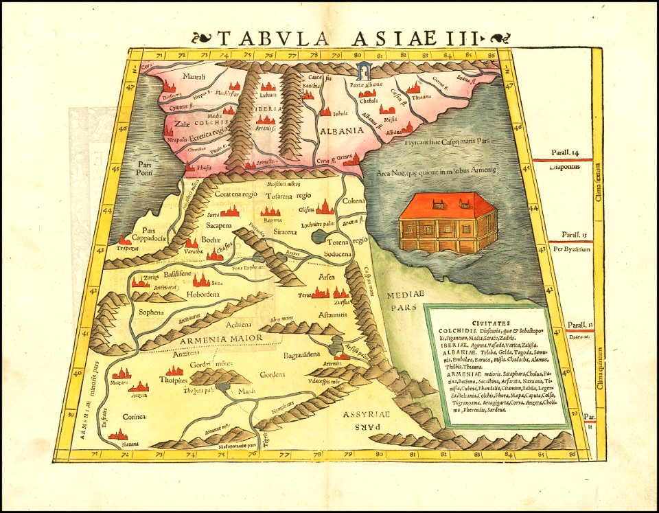
maps by sebastian münster
ptolemy's 1st african map
maps by sebastian münster
1542 maps
maps made in the 16th century
maps by martin waldseemüller
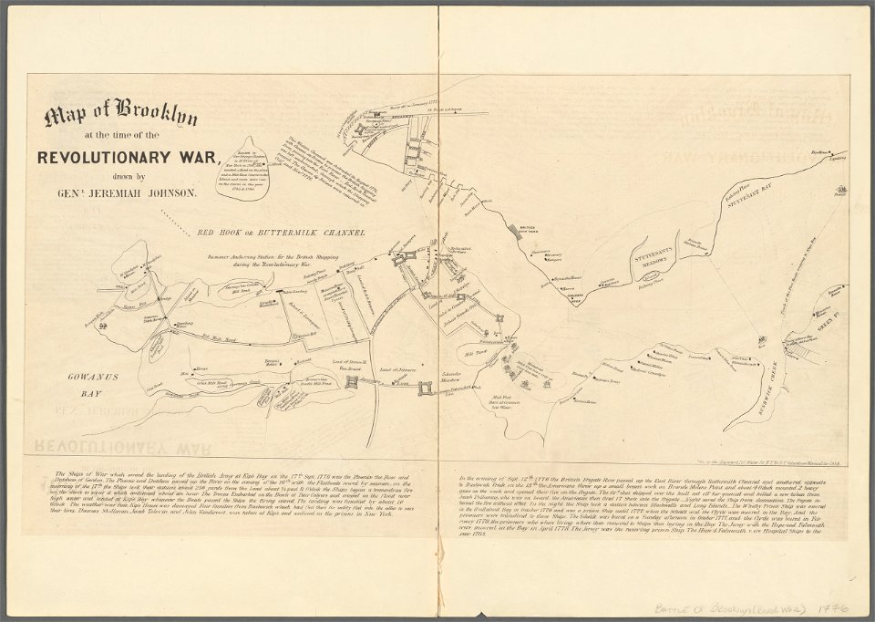
battle of long island
new york city
atlantis magni tomus secundus (biblioteca comunale di trento)
nicolaes visscher ii
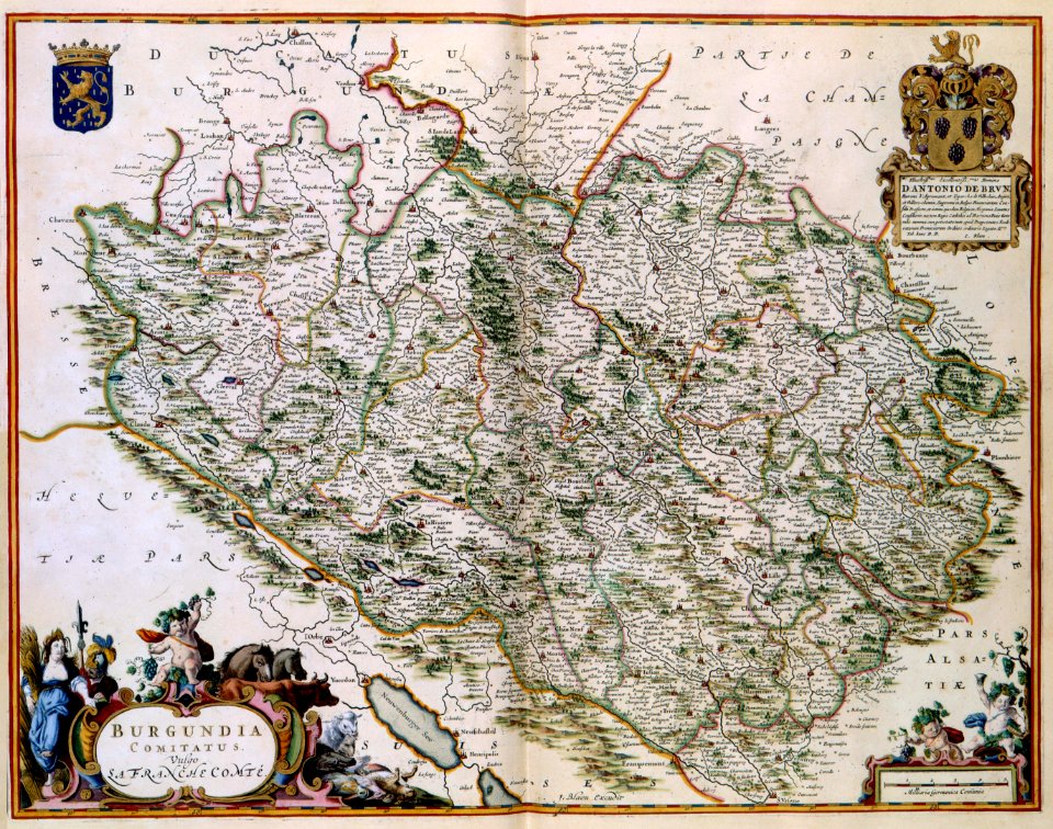
1640s maps of france
jan janssonius
atlantis magni tomus secundus (biblioteca comunale di trento)
maps made in the 17th century
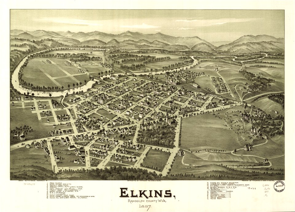
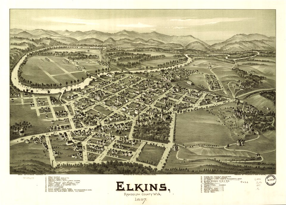
west virginia
elkins
west virginia
elkins
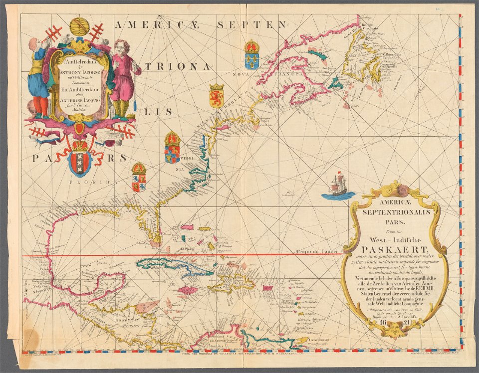
maps of the west-indische compagnie
1665
maps of the dutch east india company - indonesia
onrust island
old maps of the dutch east india company - africa
johannes van keulen
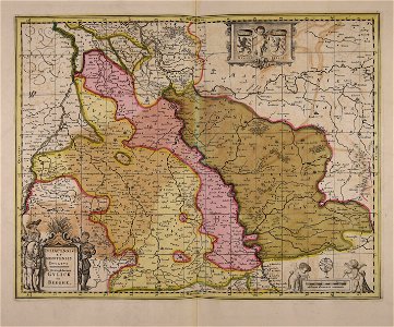
17th-century maps of france
maps with cartouches
17th-century maps of france
maps with cartouches
maps with cartouches
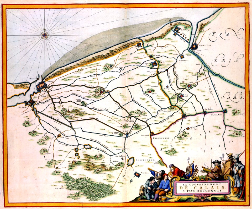
history of picardie
illustrations from the english at the north pole by riou and montaut
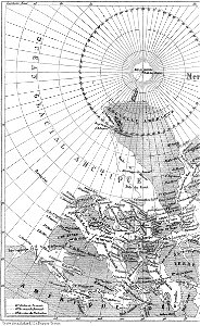
old maps of the arctic
illustrations from the english at the north pole by riou and montaut
old maps of the arctic
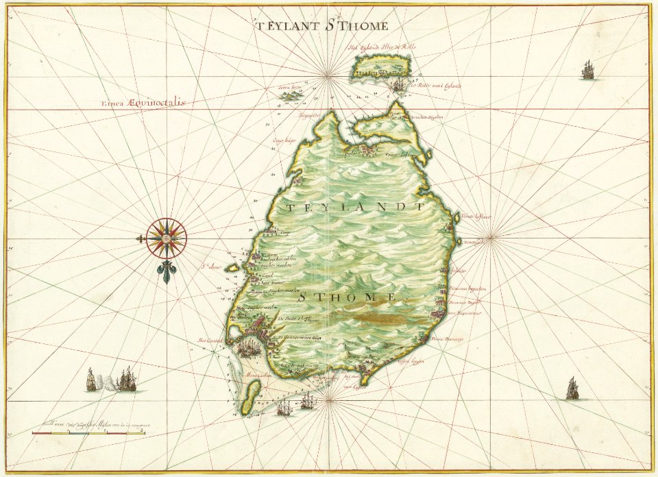
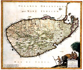
old maps of sri lanka
koral
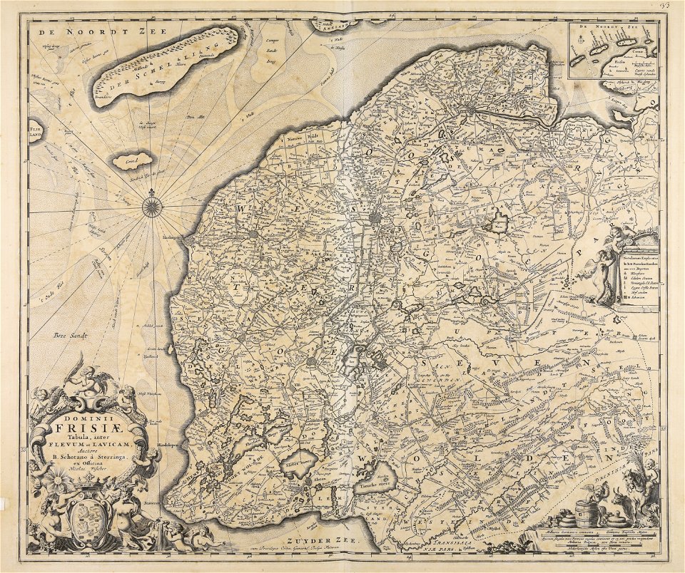
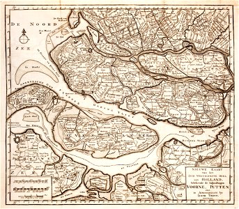
old maps of zeeland
old maps of holland
maps made in the 16th century
old maps of lazio
atlantis magni tomus tertius (biblioteca comunale di trento)
maps made in the 17th century
maps made in the 16th century
old maps of lombardy
atlantis magni tomus tertius (biblioteca comunale di trento)
maps made in the 17th century
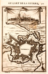
old maps of landrecies
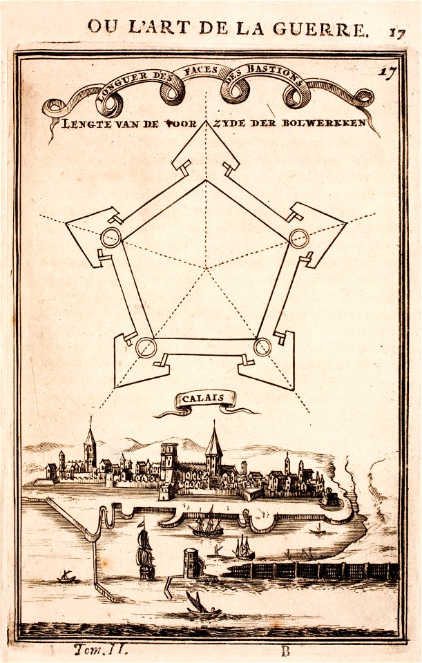
pentagon
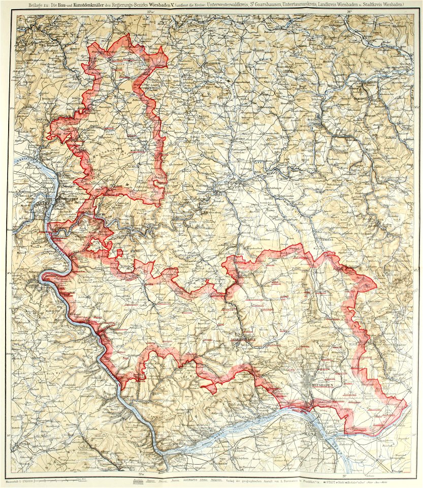
images from bau- und kunstdenkmäler des regierungsbezirks wiesbaden (volume 5)
german-language maps showing history of europe
old maps of calais
pentagon
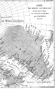
topographic maps of afghanistan
wakhan corridor
old maps of the world
1880 maps
engravings after peter paul rubens
harvard university
delhi sultanate
catalan atlas
maps made in the 17th century
gerard valck
maps made in the 17th century
gerard valck
maps by nicolaes visscher i
claes jansz. visscher (ii)
18th-century maps of hispaniola
hispaniola
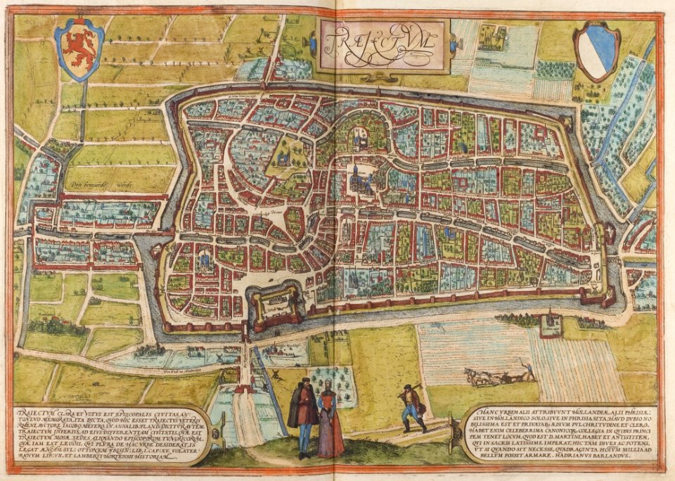
old maps of utrecht (city)
braun & hogenberg
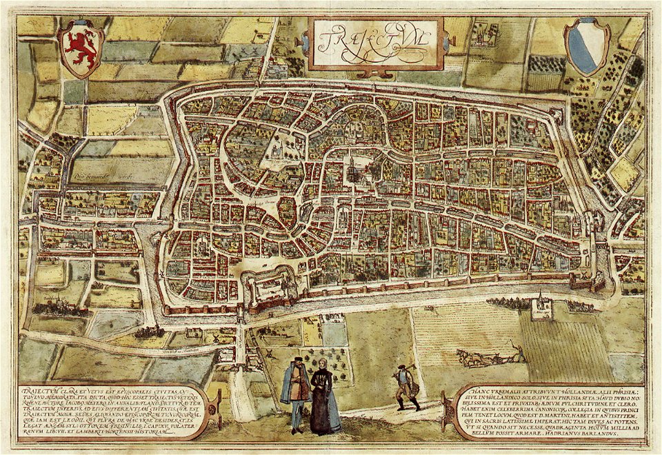
old maps of utrecht (city)
braun & hogenberg
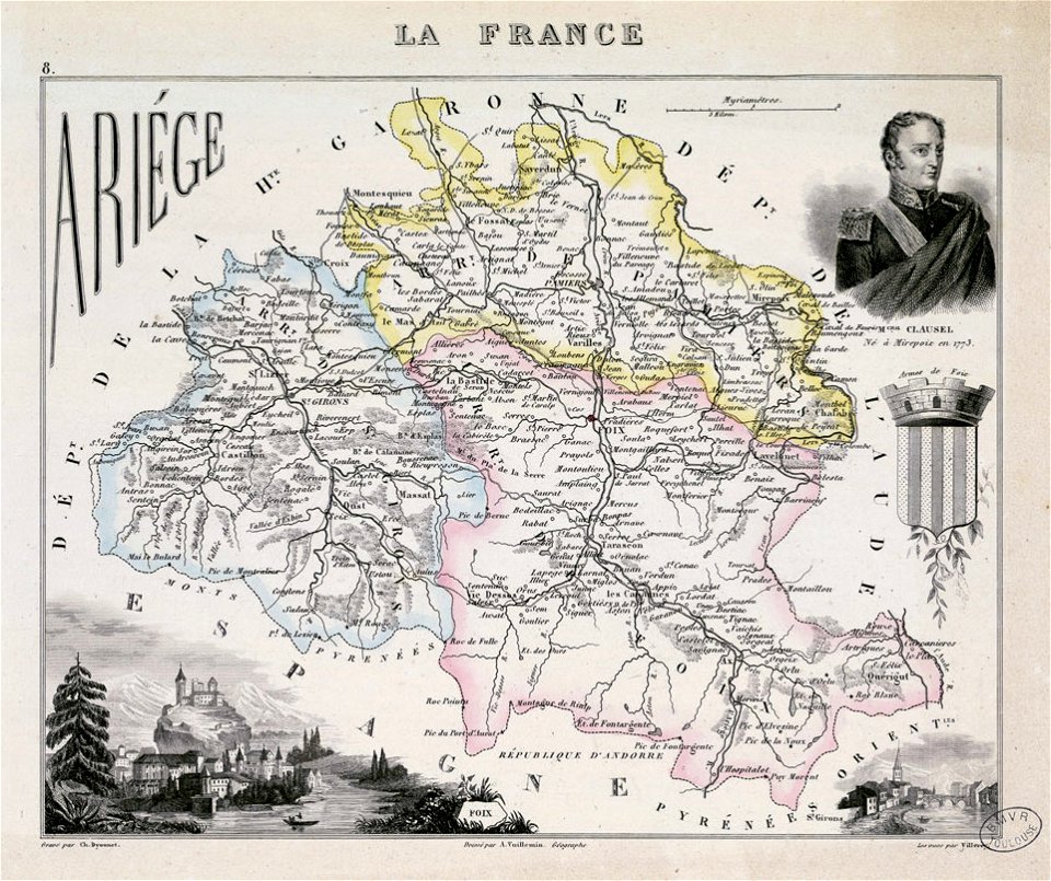
fonds ancely - bibliothèque municipale de toulouse - maps
coats of arms of foix
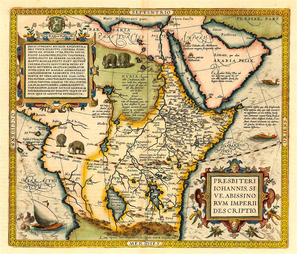
emblem of ethiopia
prester john
old maps of central america
1880 maps
maps by willem and johannes blaeu
spain in the 17th century
old maps of the spanish empire
old maps of regions of france
atlas van der hagen (volume 4)
maps with cartouches
engravings of theatrum europaeum
1645 maps
maps of the united kingdom of great britain and ireland
ireland in the 1900s
old maps of pomerania
rudens
old maps of north rhine-westphalia
lower rhine region
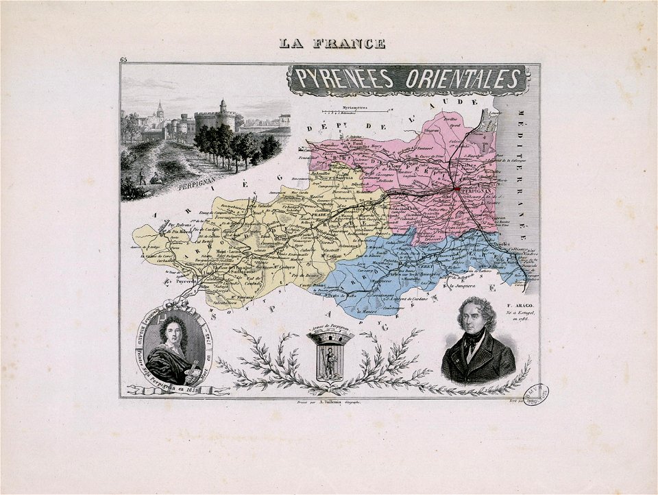
hyacinthe rigaud
françois arago
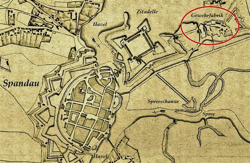
historical documents of the spandau citadel
festung spandau
paulys realencyclopädie der classischen altertumswissenschaft band i
2
petar ii petrović-njegoš
johann böss
maps from the mechanical curator collection
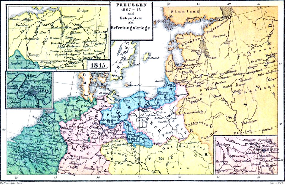
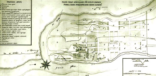
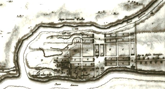
old maps of prussia
1590 maps
unidentified maps
1841 maps
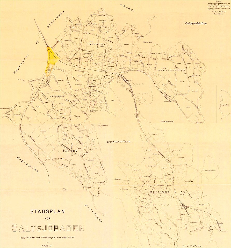
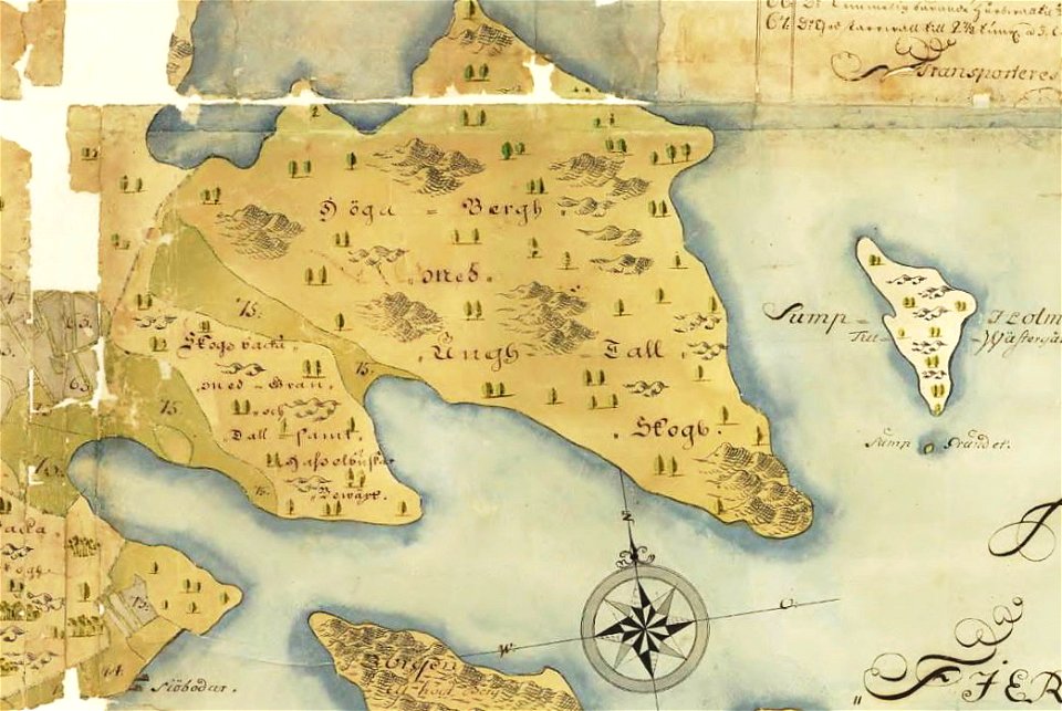
saltsjöbaden
maps
saltsjöbaden
maps
maps with cartouches
curonian
king george ii (thomas hudson - npg 670)
1760s
portrait paintings by gyula benczúr
academic art
old maps of belarus
daugava
old maps of belarus
daugava
old maps of belarus
daugava
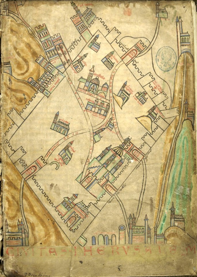
cartography of jerusalem
old maps of jerusalem
maps of amsterdam by cornelis anthonisz.
paintings of amsterdam
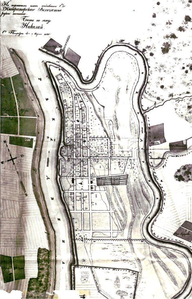
national atlas of the united states
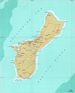
maps of guam
engravings of topographia saxoniae inferioris
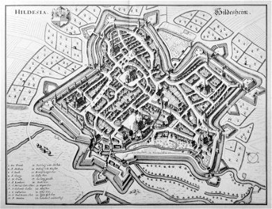
old maps of hildesheim
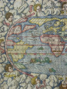
illustrations of cosmographia (münster)
old maps of the world
historical images of cervia
old maps of emilia-romagna
encyclopaedia universalis mundaneum
maps of the treaty of trianon
illustrations of cosmographia (münster)
old maps of the world
illustrations of cosmographia (münster)
old maps of the world
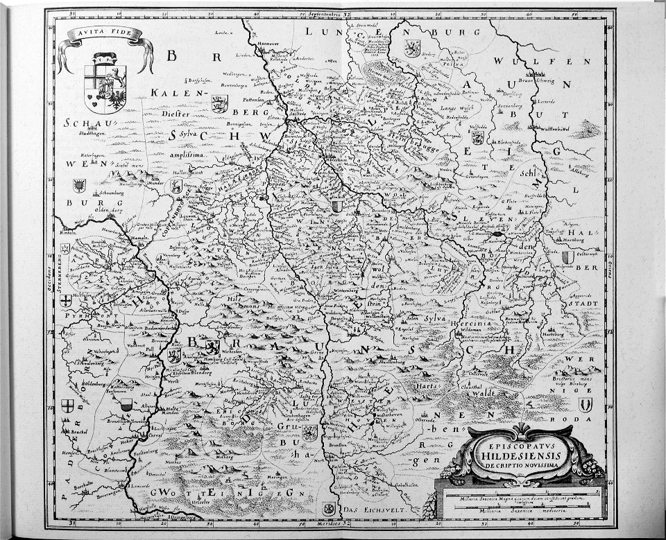
engravings of topographia saxoniae inferioris
old maps of hildesheim
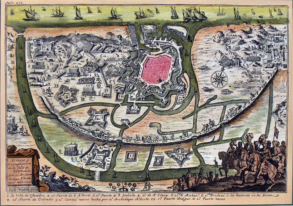
siege of ostend
low country
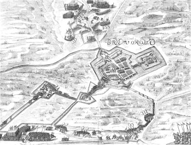
old maps of bredevoort
pikemen
19th-century portrait paintings in the palace of schönbrunn
paintings by leopold kupelwieser
francis d'avignon
george hayward
francis d'avignon
george hayward
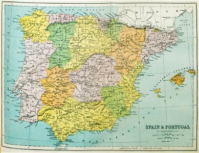
old maps of the iberian peninsula
1870 in spain
taejo of joseon in art
eojin
simon v of montfort in miniature
battle of evesham
religious paintings by lucas cranach (ii)
german renaissance
portrait paintings of males in the national gallery of art
neoclassicism
5401 - 5500 of 1,095,938
Next page
/ 10960